The Environmental Remote Sensing and Geo-Information Laboratory of the College of Forestry and Natural Resources (CFNR-ERSG) organized a seminar on remote sensing in agriculture.
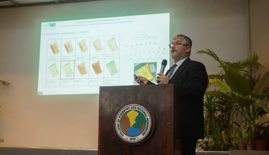
The seminar was given by Prof. Gábor Milics of the Hungarian University of Agricultural and Life Sciences (MATE), who discussed a Hungarian perspective on applying remote sensing technologies in precision agriculture.
Milics explained the critical role of remote sensing technologies in advancing agricultural practices.
The Institute of Renewable Natural Resources (IRNR) hosted the seminar as the first in the “SynerGIes” seminar series organized by CFNR.
Themed “Harnessing Mapping and Satellite Technologies for Natural Resources and Environment Management,” the seminar was held in time for the World Geographic Information Systems (GIS) Day celebration on Nov. 15 at the Nicolas P. Lansigan Auditorium.
The seminar series opened with Dr. Nathaniel C. Bantayan, vice chancellor for research and extension, talking about his experience during the early stages of the study of GIS and remote sensing in UPLB when only a few had an interest in the field.
CFNR Dean Marlo D. Mendoza gave a welcome talk and acknowledged the presence of guest speaker Professor Alfredo Mahar Francisco A. Lagmay, executive director of the UP Resilience Institute (UPRI).
Dr. Lagmay expressed his support for the activity and appreciation for Prof. Milics for accepting the invitation to share his expertise and experiences in using advanced technology for natural resources and environment management.
He also underscored the vital role of resilience in environmental planning and management using the present technologies.
In his closing talk, IRNR Director Marco A. Galang said that SynerGIeS went beyond celebrating World GIS Day as it served as a dynamic forum for enriching the understanding and application of cutting-edge technologies in natural resources management.
He said that SynerGIeS highlighted the latest advancements in GIS and remote sensing and emphasized the University’s commitment to integrating these technologies into sustainable natural resource management strategies.
The seminar also presented a valuable networking opportunity for those passionate about technology and environmental stewardship. (Gerald T. Eduarte)